GeoSpatialMinds offers Geographical Information Systems (GIS) as well Solutions, ranging from various data collection, data analysis, system implementation & integration, project management and implementation, core GIS and custom made training on top of Esri and other software providers. GeoSpatialMinds is proud to be Esri Silver partner since 2014.
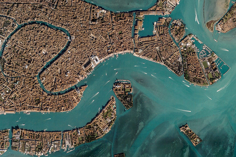
GeoSpatialMinds has partnered with several world class satellite providers to bring the technology platform for accessibility combined with latest imagery fully processed and ready to use with the applications. The resolutions provided ranges from 30cm to 20m in mono and stereo modes.

Today’s rapidly growing economic and cultural landscape demands the use of high-resolution UAV Imagery and cutting-edge remote sensing. This is essential for decision makers in governments and companies to make the right decisions.
From economic development to disaster management, infrastructure to national security, information is power. With the partnership with SenseFly we are able to provide our clients accurate imagery with up to 2cm resolution, elevation data, city modeling, affordable & efficient high-resolution mapping, remote sensing and surveillance.
GeoSpatialMinds Secures your assets and increase productivity with our tracking solutions:
• Geofencing to detect unauthorized vehicle use/detours
• Handsfree audio with your control center at the push of a button
• Power reporting to detect disconnection or bad vehicle battery
• Motion detection to secure parked vehicle location when in need of assistance
• Ignition detection and disabaling (optional)
• Speed and hard breaking reporting to eliminate bad driving habits
• Periodic reporting based on time and distance travelled
• Idle alarm to detect running engines
• Inbuilt temperature sensor
• Accurate GPS positioning with GPRS and GSM communication
• Landmark data for easy location online and offline
Antelias, DEMCO Center
18th Floor
Beirut, Lebanon
P: +961 3 843 549
Tulip Inn Hotel, Airport Road, Office #3
Juba, South Sudan
M: +211 911 100 500 (WhatsApp if no signal)
JLT, Saba Towers
Dubai, United Arab Emirates
M: +971 52 101 2727